
Rohnert Park Previous Residents by Era
A previous-residents search needs an era map before it needs more names. The modern deed index, city permit portal, local newspapers, county directories, aerials, and public census schedules do not cover the same years or show the same kind of person. Ownership is a recorded chain. Occupancy is usually a directory, newspaper, census, voter, probate, or family-history clue. The table keeps those roles distinct and flags the important gaps.
| Source | Years It Covers | Where Held | What It Shows |
|---|---|---|---|
| Recorder computerized index and images | January 1964 to present | Sonoma Recorder self-service and office | Grantors, grantees, recorded instruments, and a deed sequence |
| Handwritten index books and deed books | Before 1964; county records predate 1850 | Online book images, Recorder, and archives | Older party-to-book/page links when an address is absent |
| County directory collections | 1870s through early 1950s | Sonoma County Library digital and History & Genealogy resources | Predecessor place names, households, and businesses |
| Petaluma, Cotati and Penngrove A-to-Z directory | 1954-1955 | Sonoma County Library digital collection | The immediate pre-development address and name bridge |
| Local newspaper microfilm | 1958-1992 across overlapping titles | Library branch and History & Genealogy Library | Notices, obituaries, sales, clubs, schools, and addresses |
| Rohnert Park city permits | January 5, 2001 to present online | City eTRAKiT and Building Division | Work, APN, applicants, contractors, status, and dates |
| Older city permits | Before January 5, 2001 | Building Division archive | Older permit evidence, subject to availability |
| Assessor aerials | 1961, 1971, 1980, and later listed surveys | History & Genealogy Library | Structure and development context, not occupants |
| Federal census schedules | Public schedules through 1950 | NARA and library genealogy databases | Household members, relationships, and older geography |
| Local Sanborn maps | No verified Rohnert Park edition | Official library guide and nearby-city holdings | A documented gap, not a reason to substitute another city |
Choose a source by the decade in question. A 1970s occupant may appear in local news, a directory, an aerial, or a deed. A 1930s predecessor household may require a county directory and census geography. A permit from today cannot be used to fill an unverified gap in the 1950s.
Find Rohnert Park Previous Residents by APN
Start a previous-residents search with the present parcel. Sonoma's assessor search accepts fee parcel, assessment, and street address modes. Address instructions say to omit words such as Street, Road, Drive, and Lane and to match the portal's format. Record the APN, situs, year-built information, and any linked sale or document clues. The public web roll does not provide a general owner-name search, and the GIS Internet layer can omit owner and mailing names.
If a richer owner or mailing inquiry is needed, contact the Assessor with the APN or address. The office lists 707-565-1888 for questions about availability, fees, and property-characteristic extracts. Mailing address means where tax correspondence goes. Situs means where the parcel sits. A difference can point to a trust, manager, or absentee owner, but it does not identify the person who occupied the house.
Keep the legal description with the APN. A street label can change, while a lot, block, subdivision, or metes-and-bounds description can preserve the land link. This is the bridge from a current address to a much older deed, map, or annexation record.
Trace Rohnert Park Previous Residents Through Deeds
The Sonoma County Recorder is the ownership spine for previous residents, but a deed names a recorded party rather than every person who lived at the address. Use the Recorder self-service gateway, accept its disclaimer, and treat the index as a pointer to an instrument. Search the current buyer as grantee, identify the seller as grantor, then search that seller as an earlier grantee. Repeat until the names, legal description, book and page, or APN clues no longer connect.
- Save the current APN, situs, legal description, and any current or prior document number from the property record.
- Search the current acquisition in the computerized index, using party spelling variants and a recording date range.
- Read the grantor and grantee roles, then run the prior seller as a grantee in an earlier date window.
- Check document type, book and page, map references, and APN or legal-description clues before accepting the next link.
- Move to handwritten index-book images and deed books when the chain reaches before January 1964.
- Grantor
- The party transferring or conveying an interest in the recorded instrument.
- Grantee
- The party receiving that interest in the recorded instrument.
- Chain of title
- A linked sequence of recorded transfers for the same land, checked through names and legal descriptions.
- Legal description
- The formal land description, such as a lot and block or metes and bounds, that can outlast a street label.
Note: A deed chain proves recorded transfers; directories, census schedules, and notices are needed to test occupancy.
Rohnert Park Previous-Resident Index Divide
January 1964 is the decisive Recorder boundary for a Rohnert Park address history. Documents from January 1964 forward use the computerized index and image system. Through December 31, 1963, the documents are microfilmed or digitized, but discovery relies on handwritten index books whose images are online. The county's recorded records predate 1850, so an old parcel can lead into a rural Sonoma chain even though the city itself is young.
Older searching takes more care. Addresses may be missing or written under a predecessor community. Search grantor and grantee names, then use book, page, map, subdivision, and legal-description clues. The Recorder provides public index access and office document-image access during business hours. For a copy, the request form asks for an instrument number or pre-1964 book and page, names, document type, requester information, and page calculation.
Recorded-copy charges depend on the route. The county research lists printed copies at $5 per page, certification at $4 per document, fax copies at $4 per document plus print fees, emailed pre-1964 pages at $6 per page up to ten pages, emailed 1964-and-later documents at $6 per document up to ten pages, and maps at $5 per page. Email and fax copies cannot be certified. The Recorder does not identify documents for the requester, so an exact citation saves time.
Rohnert Park Past Residents Before 1957
Rohnert Park is a young city. Master planning dates to 1954, infrastructure and first houses appear in 1957, and incorporation followed in 1962. Before that development, the same ground may be described as Rancho Cotate, Cotati, Penngrove, Santa Rosa Township, or unincorporated Sonoma County. A search for only the modern city name can therefore miss the earlier owner, farmer, family, or rural road.
The land story explains the shift. Rancho Cotate was subdivided into five-to-twenty-acre parcels from 1892. Waldo Emerson Rohnert acquired a major tract in 1929 and grew seed crops. In 1955, Paul Golis and Maurice Fredericks obtained an option on about 2,700 acres and planned neighborhood units with nearby schools, pools, and parks. The previous residents of a current address may first appear as rural landholders, not city householders.
Search the historical place term alongside the modern address, then compare the legal description and parcel ancestry. A county directory, deed, newspaper, or aerial can establish continuity when the postal and civic names have not yet formed.
Rohnert Park Previous Residents in 1954-55
The Petaluma, Cotati and Penngrove A-to-Z Directory from 1954-1955 sits at the edge of Rohnert Park's planned development. It may not list a modern Rohnert Park street, but it can preserve names and addresses in the predecessor communities that surround the future city. Earlier county directories, including named Polk-Husted, Pacific Telephone, Press Democrat, and Farmers Directory editions, extend the trail into the 1870s through early 1950s. The Rohnert Park city directory collections page is the natural companion for the volumes themselves and their reading rules.
The digitized Farmers Directory Co. Sonoma County 1922-1923 scan is a 275-page example of the kind of county source that can supply a name, farm, locality, or business lead. The linked library record is the source for the page image shown below.
Open the Sonoma County Farmers Directory scan at the library before treating a printed name as a match.
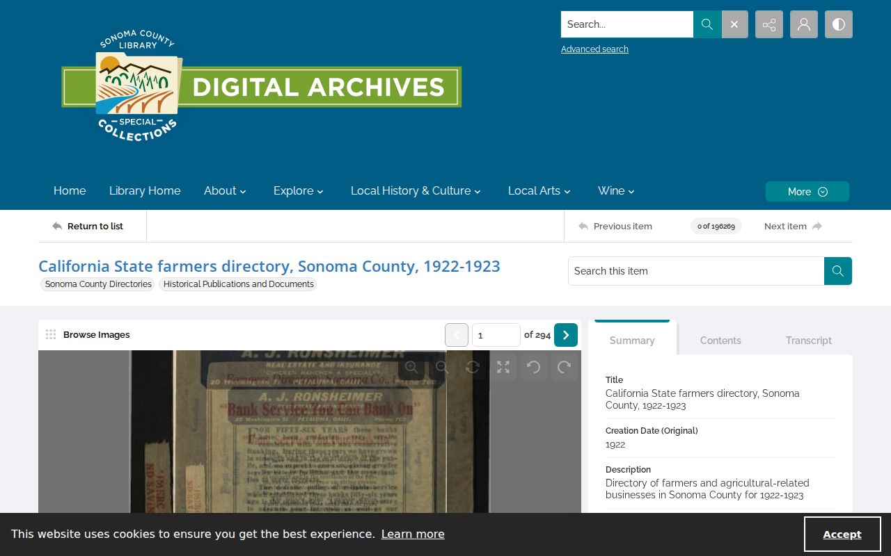
The scan illustrates why predecessor geography matters. A county directory can locate a household or business without using the later city name, so record the printed locality and page with the modern parcel clue.
Rohnert Park Newspapers for Previous Residents
The latest public census does not cover the full city-building period. The 1950 schedules precede incorporation, and the 1960 census remains closed until 2032 under the 72-year rule. Rohnert Park's local newspaper microfilm therefore carries unusual weight for previous-residents research. It can show births, marriages, deaths, school and club activity, legal notices, property advertisements, and community names without pretending to be a complete roll.
The Sonoma County Library guide lists Rohnert Park Press and Central Sonoma News from 1958-1966; World of Cotati and Rohnert Park from 1965-1967; World of Sonoma County from 1967-1969; Rohnert Park Cotati Clarion from 1969-1992; Rohnert Park News from 1973-1975; Rohnert Park-Cotati Times from 1977-1982; and Cotati Call from 1974-1977. Search the address, surname, predecessor place, and likely relatives. OCR can misread names, so inspect the page image.
Open the library's historical newspaper microfilm guide for the title runs and local access route.
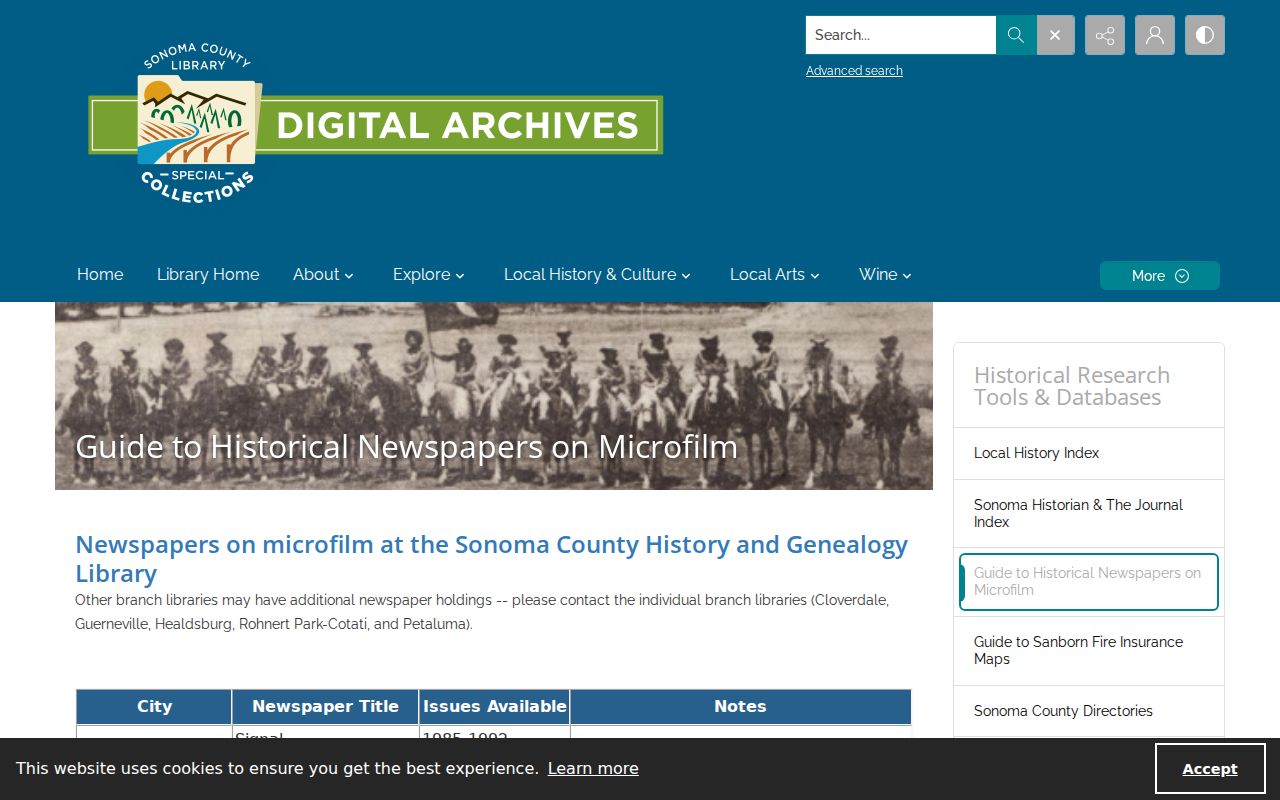
The newspaper guide is a practical fallback when a directory skips a year. Capture the title, date, page, and exact wording, then compare the lead with a deed, permit, obituary, or directory entry.
Rohnert Park Permits for Previous Residents
Rohnert Park eTRAKiT exposes city permit information online from January 5, 2001 to the present. A result can show permit number, type, subtype, short description, status, application and issue dates, linked activities, address, APN, subdivision, lot, property type, and inspection notes. The named applicant or contractor is a research clue, not automatic proof of residence. The online application system has account functions, while a basic search is free.
Pre-2001 files require the Building Division at City Hall and are subject to availability because records maintenance is ongoing. Ask for the address, APN, permit or project number, and date range. The division's official contact is 707-588-2226. A city public-records request can be used for an existing responsive record when a portal is incomplete, but it cannot force the city to create a new historical list.
Aerials in the History & Genealogy Library for 1961, 1971, and 1980 can show whether a structure or subdivision existed at a point in time. They date physical development, not who lived inside. No official guide verified a Rohnert Park Sanborn edition, so nearby-city fire-insurance sheets should not be substituted for a local map.
Rohnert Park House-History Lookup Route
Sonoma County Library recorded a 90-minute webinar, “How to Research Your Historic Property Using Online Databases,” on October 21, 2021. Its timestamps make a useful local sequence instead of a generic list. Start with the present parcel, then add the source type that fits the decade and question.
- At 9:25, use FIMo and related property research tools to set the address and parcel context.
- At 14:40 and 19:48, move through Newspapers.com and Ancestry or HeritageHub-style sources for names and notices.
- At 25:26 and 30:55, check digital collections, the Local History Index, and the History & Genealogy Library.
- At 32:17 and 34:05, compare maps, atlases, and aerials with the legal description.
- At 36:16 through 42:58, add directories, surveys, permits, registers, and tax assessments.
- At 44:50 and 45:55, use vital, probate, yearbook, and County Archives material to close a household gap.
Open the Sonoma Library house-history webinar page for the recorded route and timestamps. Offsite archive boxes should be requested with the collection and box or volume number in advance.
Rohnert Park Previous Residents at Trail's End
Obituaries, probate petitions, notices, inventories, and distribution orders can close a previous-resident trail when a household member died or an estate changed hands. Search the Sonoma Superior Court probate index for the legal file, then use the library's obituary and cemetery resources for family context. An obituary is a secondary clue. A court order, deed, or certified record carries the stronger legal weight.
Jurisdiction files can explain why a source changes while the physical parcel does not. Sonoma County Archives lists “Annexation City of Rohnert Park, 1968-1970” in box 20249, SCG.00038.BDSU-0280.0650. That file can connect a planning, permit, election, or tax record to a changed city boundary. The county Archives finding aids and the library's archival catalog are the fallback when online search ends.
House-history boundary. Previous-resident research is appropriate for family history, a documented house history, and personal curiosity. Do not use an old address trail to follow, threaten, impersonate, or harass a living person.
Keep owners and occupants in separate columns in the research notes. A recorded grantor or grantee may have sold vacant land, owned a rental, used a trust, or received mail elsewhere. The best previous-residents conclusion states which source proves ownership, which source suggests occupancy, and where the evidence stops.